Geography
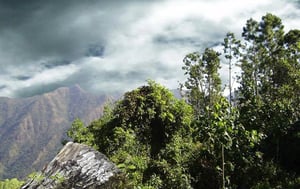
A quarter of the country is fairly mountainous. West of Havana is the narrow Sierra de los Órganos, rising to 750m (2,461ft) and containing the Guaniguanico hills in the west. South of the Sierra is a narrow strip of 2,320 sq km (860 sq miles) where the finest Cuban tobacco is grown.
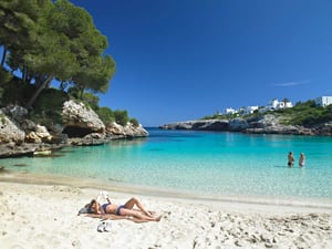
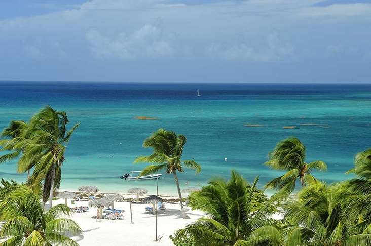
The Sierra de Escambray and Montañas de Guamuhaya behind Trinidad in the centre of the country rise to 1140m (3,740ft) Encircling the port of Santiago are the rugged mountains of the Sierra Maestra. A quarter of the island is covered with mountain forests of pine and mahogany. Cuba has few rivers of note, the exception being the Río Cauto in the east. The country has 3735km (2321 miles) of coastline and thousands of offshore islands.